Trytoon Aacademy – Best training institute in Bhubaneswar, Odisha

Market study interior products for Interior Designing students
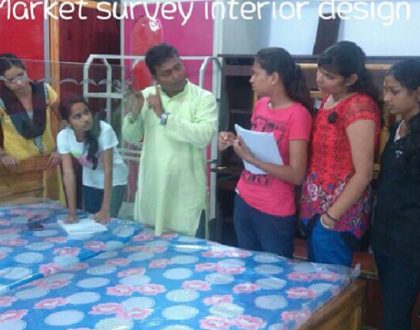
Interior Design students furniture factory visit

Market study for Interior Designing Welspun Flooring

Aisha Sharma, a Trytoon Academy graduate, founded her own sustainable fashion label, gaining recognition for eco-friendly designs.

Rajesh Khanna’s master’s degree from Trytoon led to a successful career as a lead designer at a prestigious luxury fashion brand.

Priya Mehta’s journey post-graduation includes founding a fashion consulting firm specializing in trend forecasting and branding.

Vijay Singh now imparts knowledge as a respected fashion educator at a renowned design institute.

Neha Gupta’s path led her to become a lead costume designer in the film industry, creating memorable looks for characters on screen.